William Davis & Michael Markieta: Geographies of Urban Form
October 14 – November 8, 2015
Student Gallery, The Image Centre (formerly Ryerson Image Centre)
Through images composed solely of the major road networks comprising important cities, Geographies of Urban Form illuminates how various metropolises have been settled. Overcoming physical barriers like mountains and rivers, roads and highways dictate how we navigate and perceive cities; their isolation and abstraction in these maps test our knowledge of a city and its urban form. The perfection of New York City’s grid structure, the contours formed around Seoul’s Han River, and the progressive development of London visualize cultural, historical and physical differences in a series of revelatory images.
Event(s):
Opening Party
Wednesday, October 21
6:00 – 8:00 PM
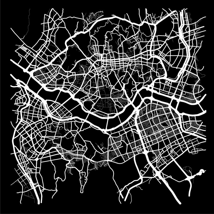
William Davis and Michael Markieta, Seoul, from Geographies of Urban Form, 2015. Courtesy of the artist
Installation Shots
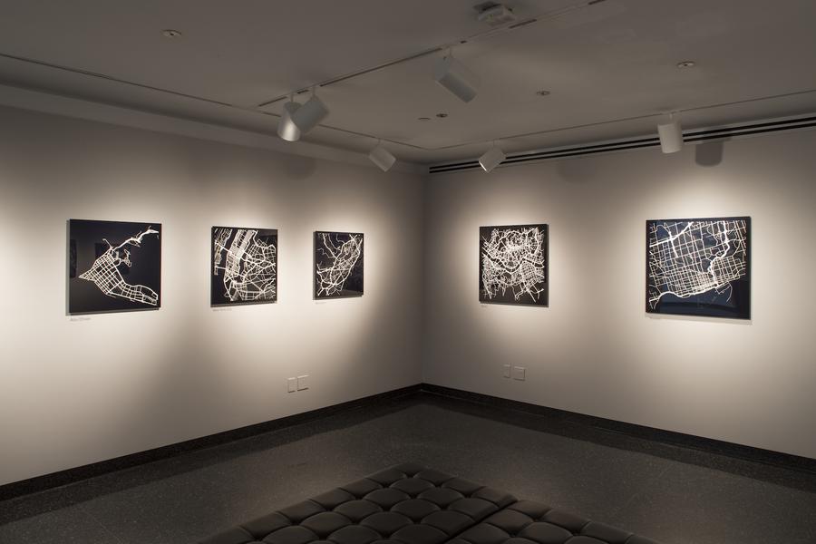
William Davis and Michael Markieta: Geographies of Urban Form (installation view), 2015 © Riley Snelling, The Image Centre
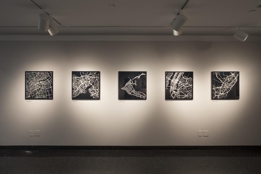
William Davis and Michael Markieta: Geographies of Urban Form (installation view), 2015 © Riley Snelling, The Image Centre
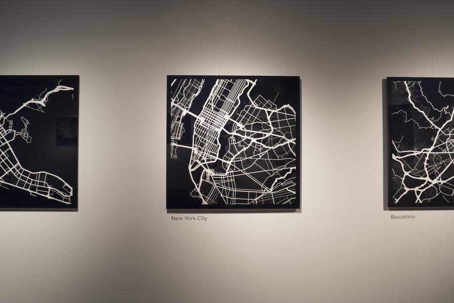
William Davis and Michael Markieta: Geographies of Urban Form (installation view), 2015 © Riley Snelling, The Image Centre